C-11653 (Biosolids Project)
Land Application of Residuals and Chicken Manure in the Lake Okeechobee Watershed: Phosphorus Considerations


Home
   
Real-time Data
       Data System

Project Description
       Work Plan
       Summary
       Contact List
       Deliverables
         Schedule
                                 
Project Site
       Kirton Ranch
       Site Photos
       Topography
       Layout diagrams   
       Ditch calculation
       Progress reports
    
                           Instrumentation
       Samplers
       Design
       Production
       Electronic
     
  Fabrication
        Lightning
       Telemetry
        
Methods
     
Treatments
       Field Methods
       QA Certification
      
SOP's

Data and Results
       Manure Data
       Residuals Data
       Soil Data
       Runoff Data


Search the website:                   

Search for:


Topography

Survey

Following survey trips were done. The table shows the personnel involved, the work done and links to the results

January 2001 Surveyors: Capece +...
General Dimensions and soil samples position
> Collected Data
May 8, 2001 Surveyors: Grounauer / Silva
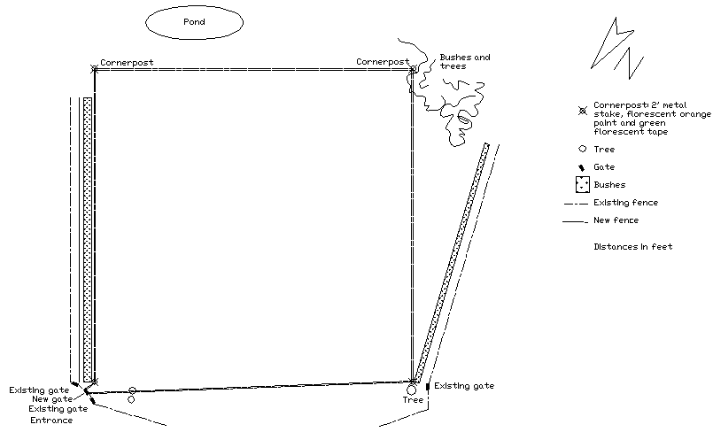
Main distances, Fencing position, Detailed leveling
> Program and equipment list
> Final report
> Maps and tables
May 20, 2001 Surveyors: Capece / Grounauer
Pond zone leveling, Outlet zone leveling
> Collected data
June 21, 2001 Surveyors: Grounauer / Silva
Plot blocks marked on site
> Program and equipment list
> Final Report
> Schema
> Pictures
June 28, 2001 Surveyors: Grounauer / Silva
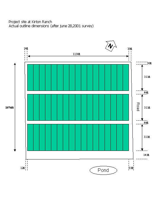
Actual fence position checked, reference marks set along fence
> Actual dimensions
> Report


Maps

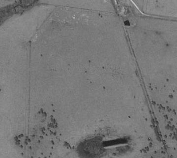
General view > Aerial View
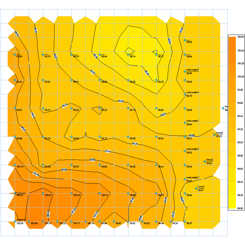
Leveling > Data table
> Gif map
> 3D-Field file
Objects map > Project Site prior work
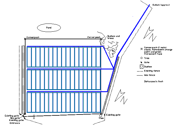
> Project Layout map
for the complete layout diagrams see the layout page
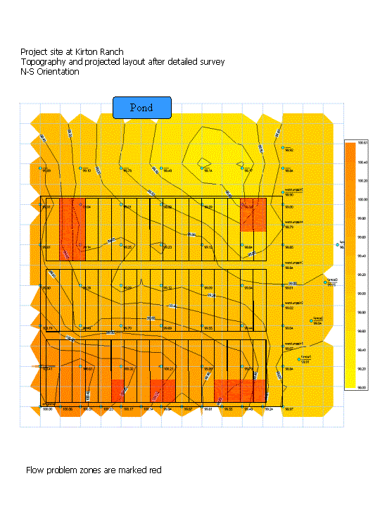
Combinations > Plot Layout with level curves


Site Created by Stephane Grounauer - june 2001
Last update: May 18, 2003 by Stephane Grounauer